# Technical Document: Highway Signage Analysis
## Image Description
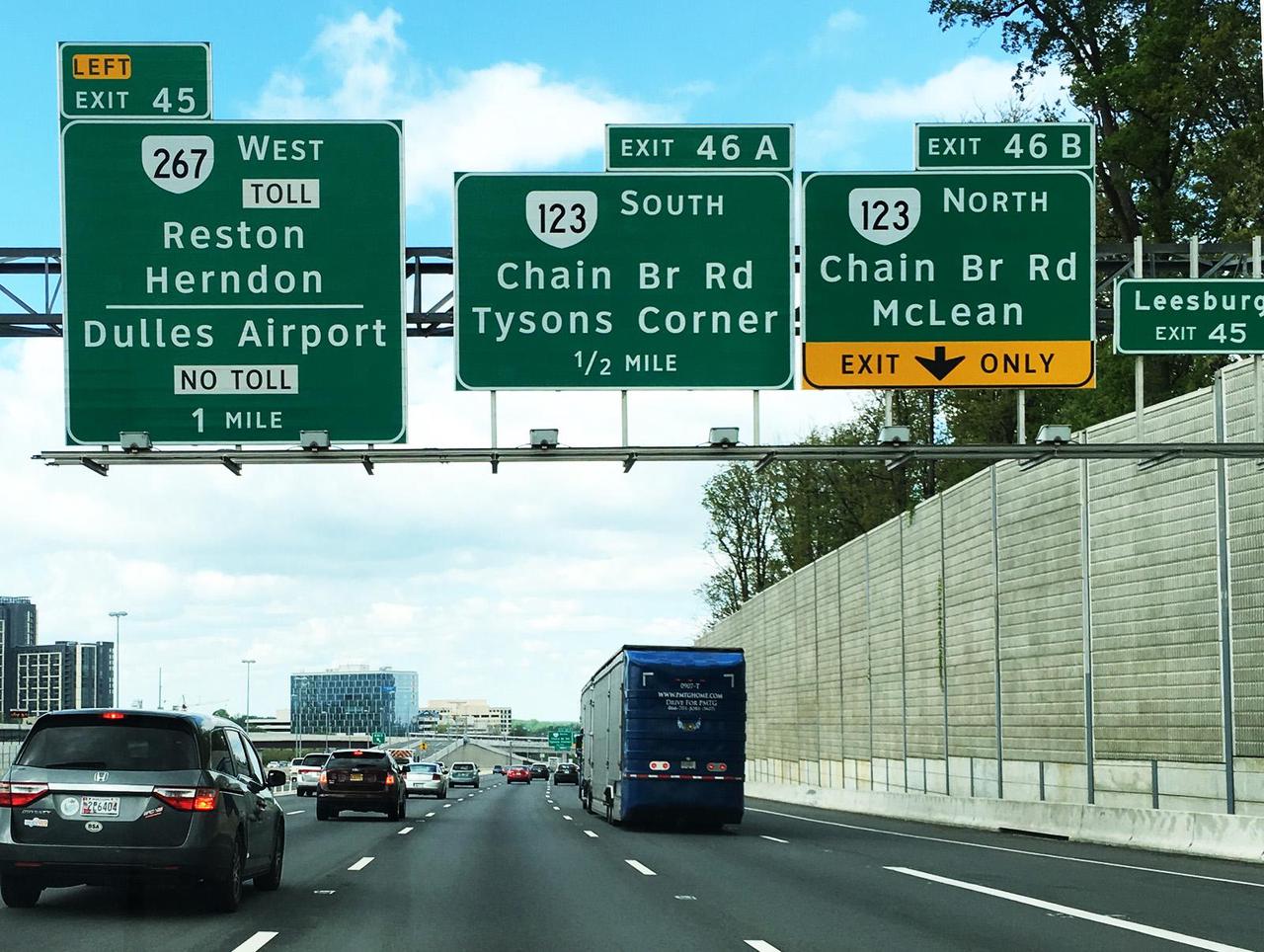
The image depicts a highway scene with overhead directional signs mounted on a metal structure. The road is a multi-lane highway with vehicles traveling in both directions. A concrete barrier separates the highway from a grassy area with trees. The sky is partly cloudy.
---
## Textual Information Extraction
### Overhead Signage
1. **Left Exit Sign (Exit 45)**
- **Text**:
- `LEFT EXIT 45`
- `267 WEST TOLL`
- `Reston Herndon`
- `Dulles Airport`
- `NO TOLL`
- `1 MILE`
2. **Middle Sign (Exit 46A)**
- **Text**:
- `EXIT 46A`
- `123 SOUTH`
- `Chain Br Rd`
- `Tysons Corner`
- `1/2 MILE`
3. **Right Sign (Exit 46B)**
- **Text**:
- `EXIT 46B`
- `123 NORTH`
- `Chain Br Rd`
- `McLean`
- `EXIT ONLY`
4. **Smaller Sign (Leesburg Exit 45)**
- **Text**:
- `Leesburg EXIT 45`
---
## Spatial Grounding
- **Sign Positions**:
- **Left**: Exit 45 (Route 267 West Toll, Reston Herndon, Dulles Airport).
- **Center**: Exit 46A (Route 123 South, Chain Br Rd, Tysons Corner).
- **Right**: Exit 46B (Route 123 North, Chain Br Rd, McLean).
- **Far Right**: Leesburg Exit 45 (smaller sign).
- **Vehicle Positions**:
- A blue truck is in the right lane.
- A dark-colored SUV is in the left lane.
- Other vehicles are visible in the distance.
- **Infrastructure**:
- Concrete barrier on the right side of the highway.
- Metal structure supporting the overhead signs.
---
## Additional Observations
- **No Data Charts or Tables**: The image contains no numerical data, heatmaps, or diagrams requiring trend analysis.
- **Language**: All text is in English.
- **Context**: The signs indicate exits for Route 267 (West Toll) and Route 123 (South/North), with distances to destinations (e.g., Dulles Airport, Tysons Corner, McLean).
---
## Conclusion
The image provides directional information for highway exits, including route numbers, destinations, and distances. No additional data or non-English text is present. The scene is a standard highway setup with clear signage for navigation.