## [Display/Signage]: Digital Transit Information Board
### Overview
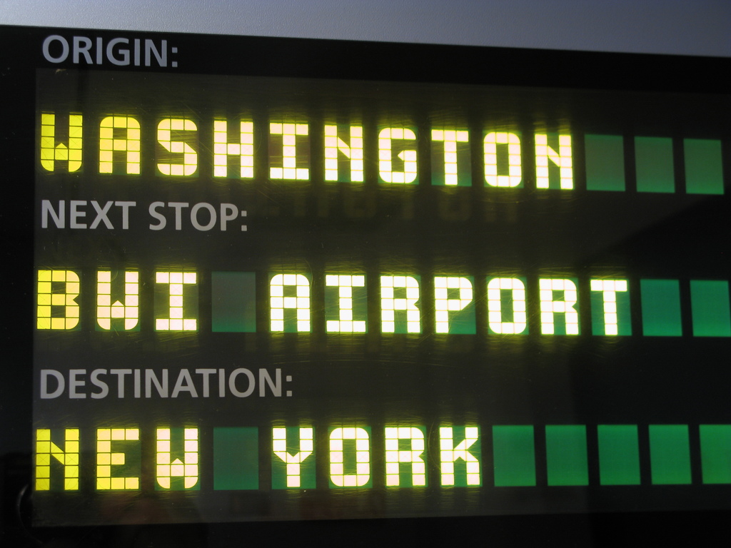
The image depicts a digital, dot-matrix style information display board, commonly found on public transportation vehicles such as trains or buses. The display uses high-contrast, yellow-green pixelated text against a black background to convey route status information to passengers. The display is organized into three distinct rows, each indicating a specific phase of the journey.
### Components/Axes
The display is structured as a vertical list of three data pairs. Each pair consists of a static label (in a smaller, standard font) and a dynamic value (in a larger, dot-matrix font).
* **Language:** English.
* **Layout:**
* **Top Section:** Origin information.
* **Middle Section:** Immediate next stop information.
* **Bottom Section:** Final destination information.
### Detailed Analysis
The display is segmented into three horizontal regions. The text is rendered in a bright yellow-green color.
**1. Top Region (Origin)**
* **Label:** "ORIGIN:" (positioned at the top-left).
* **Value:** "WASHINGTON" (positioned directly below the label).
**2. Middle Region (Next Stop)**
* **Label:** "NEXT STOP:" (positioned in the center-left).
* **Value:** "BWI AIRPORT" (positioned directly below the label).
**3. Bottom Region (Destination)**
* **Label:** "DESTINATION:" (positioned at the bottom-left).
* **Value:** "NEW YORK" (positioned directly below the label).
### Key Observations
* **Typography:** The values ("WASHINGTON", "BWI AIRPORT", "NEW YORK") are rendered in a blocky, pixelated font characteristic of LED or Vacuum Fluorescent Display (VFD) technology.
* **Contrast:** The high-contrast yellow-green text against the black background ensures high legibility in various lighting conditions.
* **Formatting:** The labels are left-aligned, and the values are also left-aligned, creating a clean, vertical column structure.
### Interpretation
* **Context:** This display is providing real-time transit status. Based on the locations provided (Washington, BWI Airport, New York), this is almost certainly a display inside an Amtrak train or a similar intercity rail service operating along the Northeast Corridor in the United States.
* **Route Logic:** The data indicates the current state of the vehicle's journey:
* The vehicle originated in **Washington** (likely Washington Union Station).
* The vehicle is currently en route to, or approaching, **BWI Airport** (Baltimore/Washington International Thurgood Marshall Airport).
* The final destination of the service is **New York** (likely New York Penn Station).
* **Utility:** This information is critical for passengers to confirm they are on the correct train and to prepare for their upcoming stop or arrival at their final destination. The separation of "Next Stop" and "Destination" helps passengers distinguish between an intermediate stop and the end of the line.