\n
## Display Board: Travel Information
### Overview
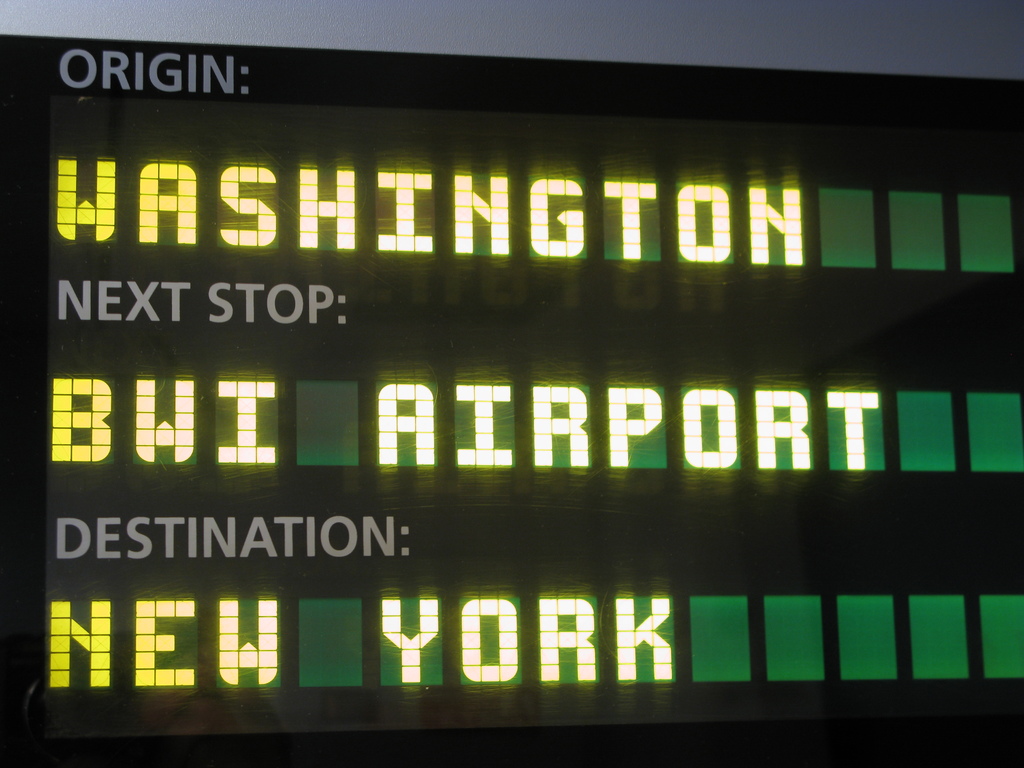
The image shows a portion of an electronic display board, likely found in a transportation hub (train station or airport). The board displays travel information regarding the origin, next stop, and destination of a journey. The text is rendered in a pixelated, dot-matrix style using yellow and green lights.
### Components/Axes
The display is organized into three labeled sections:
* **ORIGIN:** - Located at the top-left.
* **NEXT STOP:** - Located in the center.
* **DESTINATION:** - Located at the bottom-left.
There are no axes in the traditional sense, but the display uses vertical lines to form the characters.
### Detailed Analysis or Content Details
The following information is displayed:
* **ORIGIN:** WASHINGTON (approximately 10 characters)
* **NEXT STOP:** BWI AIRPORT (approximately 11 characters)
* **DESTINATION:** NEW YORK (approximately 8 characters)
The text is displayed in a yellow color with a green border or fill. The green sections appear to be indicators or status lights, potentially showing the progress or status of the journey.
### Key Observations
The display provides a clear sequence of locations: Washington is the starting point, BWI Airport is an intermediate stop, and New York is the final destination. The use of yellow and green lights suggests a functional, informational display.
### Interpretation
The display board is a common feature in transportation systems, providing passengers with real-time information about their journey. The information suggests a route originating in Washington, stopping at BWI Airport, and terminating in New York. The display is likely part of a larger system that updates automatically as the journey progresses. The simplicity of the display suggests it is designed for quick and easy readability. The information is factual and does not contain any complex data or trends. It simply states the route of a journey.