## Digital Transit Display: Route Information
### Overview
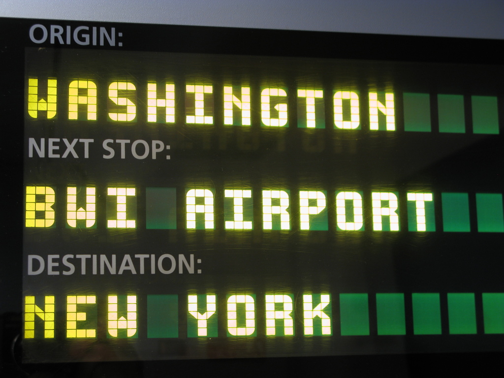
The image shows a digital display sign with a black background, featuring three rows of text in white and yellow. The display uses a grid-based font with green rectangular blocks separating text segments. The content indicates a transit route with origin, next stop, and destination information.
### Components/Axes
- **Text Elements**:
- **ORIGIN:** (White text, top-left)
- **NEXT STOP:** (White text, middle-left)
- **DESTINATION:** (White text, bottom-left)
- **Location Labels**:
- **WASHINGTON** (Yellow text, aligned with "ORIGIN:")
- **BWI AIRPORT** (Yellow text, aligned with "NEXT STOP:")
- **NEW YORK** (Yellow text, aligned with "DESTINATION:")
- **Design Elements**:
- Green rectangular blocks (4 per row) separating text segments
- Black background with no additional graphics
### Detailed Analysis
1. **ORIGIN:**
- Text: "WASHINGTON" (Yellow, 7-character grid font)
- Position: Top row, left-aligned
- Green blocks: 4 blocks after "WASHINGTON"
2. **NEXT STOP:**
- Text: "BWI AIRPORT" (Yellow, 11-character grid font)
- Position: Middle row, left-aligned
- Green blocks: 4 blocks after "BWI AIRPORT"
3. **DESTINATION:**
- Text: "NEW YORK" (Yellow, 8-character grid font)
- Position: Bottom row, left-aligned
- Green blocks: 4 blocks after "NEW YORK"
### Key Observations
- All text uses a consistent grid-based font with uniform spacing
- Yellow text contrasts sharply against the black background
- Green blocks serve as visual separators but lack explicit legend explanation
- No numerical data, timestamps, or additional UI elements visible
- Text alignment is strictly left-justified across all rows
### Interpretation
This display functions as a real-time transit information system, likely for trains or buses. The structure suggests:
1. **Origin**: Current location (Washington)
2. **Next Stop**: Immediate destination (BWI Airport)
3. **Destination**: Final endpoint (New York)
The use of color coding (yellow text, green blocks) enhances readability in transit environments. The absence of timestamps or additional metrics implies this is a static route display rather than a dynamic schedule. The green blocks may indicate progress markers or simply serve as visual dividers. The route appears to be a through-service connecting Washington to New York via BWI Airport, suggesting a multi-modal transit system.